The southwestern edge of Madison is defined by a Green Belt that separates the city from Verona. And the Ice Age Trail meanders right through it.
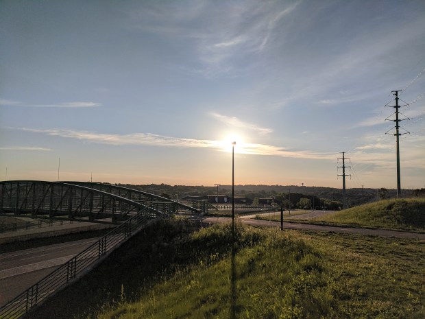
The Madison segment south end begins at a brand new pedestrian/bicycle bridge over McKee Road.
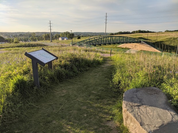
On a high spot there’s some information on the Ice Age impact on Madison and Dane County, and a beautiful view of the west side of the city.
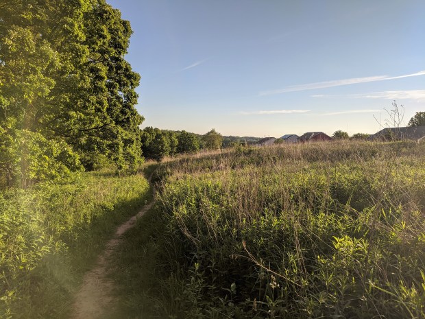
Then the trail meanders down the hill, through restored prairie and into the oak woods…
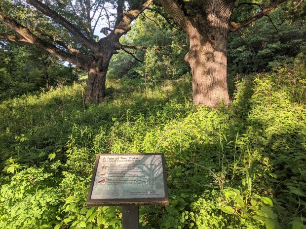
…pausing to recognize two of the oldest oaks in the forest, 200+ years old, older than the State of Wisconsin.
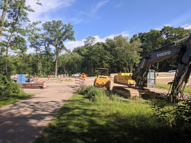
At the bottom of the hill, the west end of Raymond Road is still a construction zone. The trail goes right through the construction.
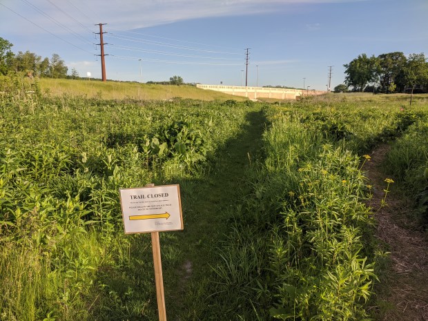
As the trail nears Pleasantview Road (county highway M) and a newly constructed bridge, there’s a very short detour.
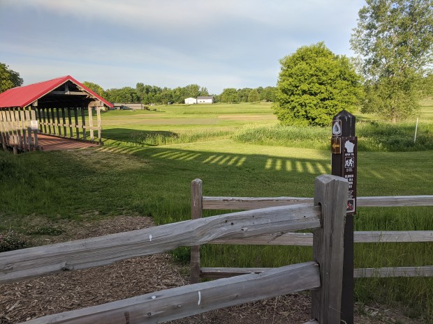
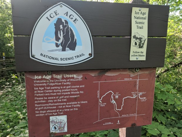
After walking under the new highway bridge the trail goes through another bridge, and past the O.J. Noer Turfgrass Research Facility.
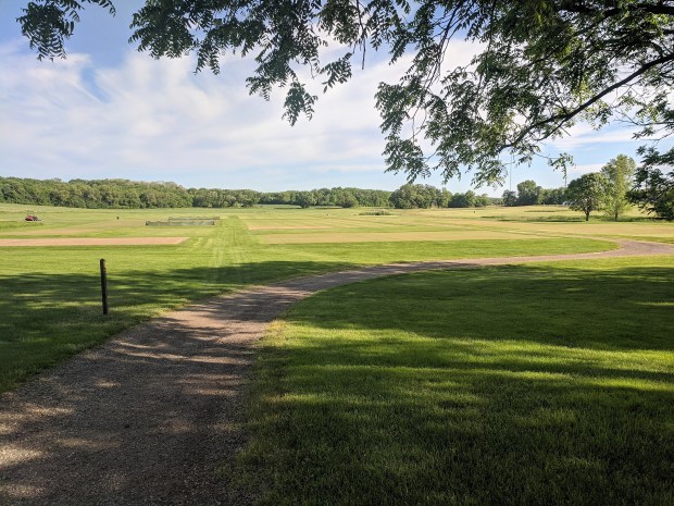
Looks like they’re testing all kinds of different grass, including tennis grass court surfaces.

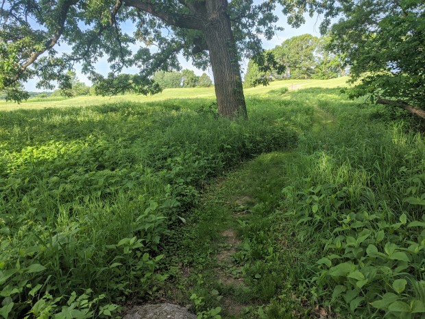
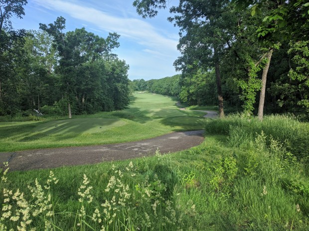
From there the Ice Age Trail winds its way through the roughs and woods of University Ridge Golf Course.
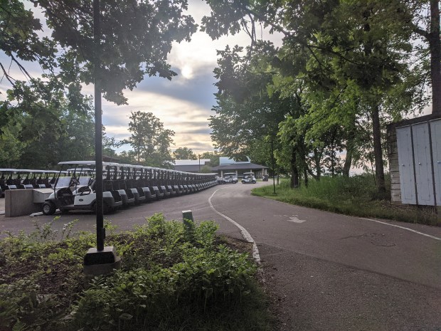
The golf carts are lined up for another day of action on the links. Hikers are welcome to use the club house facilities.
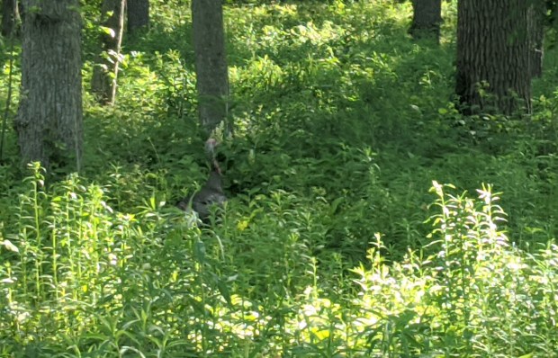
On this section of the trail I spotted an elusive wild turkey.

Also wildflowers, beautiful in the early morning sun.
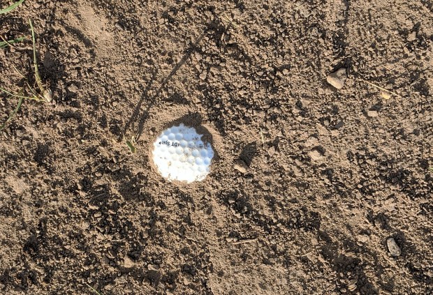
I had the opportunity to pick up a golf course souvenir but decided to play it as it lay, and let it lay.
And finally the end of the Madison section of the trail. Most of the other sections of the Ice Age Trail I’ve walked have had benches scattered here and there for strategic resting. No benches in this section of the trail, though, except at Raymond Road. Apparently they don’t want to encourage any lollygagging here, especially in areas that may be within range of errant missiles.
